|
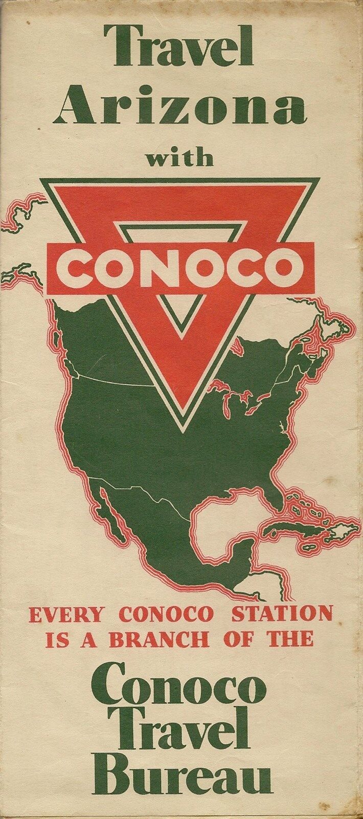
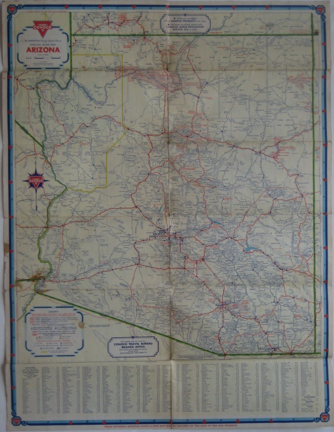
1936 CONOCO Continental Oil Road Map ARIZONA Route 66 Phoenix Petrified Forest
Vintage
fold-out Conoco road map of Arizona, printed more than 79
years ago.
The map opens to 24" x 18" and has great
detail on old highway alignments, including U.S. Route 66, with
cartography by H.M. Gousha.
The only paved highway across the state was Route 70, which had previously been labeled
U.S. 180. Portions of
U.S. 60, 66, and 80 were still gravel at the time this map was printed.
A
long section of Route 60 north of Fort Apache Indian Reservation is
marked on the map as "Impassable."
On the reverse side there are maps of Zion and Grand Canyon National
Parks, Petrified
Forest National Monument, Phoenix, and
Tucson.
This map was distributed in 1936 by the Continental Oil Company of
Denver to promote its Conoco brand. It is
dated by the code number in the lower margin: 12-J. It uses small
triangles to locate Conoco service stations throughout the state.
Condition: The map is in very good, lightly used
condition, with a few spots near the lower left edge and no
rips, tears, or writing.
Please see the scans and feel free to ask any questions.
Buy with confidence! We are always happy to combine shipping on the
purchase of multiple
items, and everything we sell comes with
our unconditional, money-back guarantee.
|